
Description
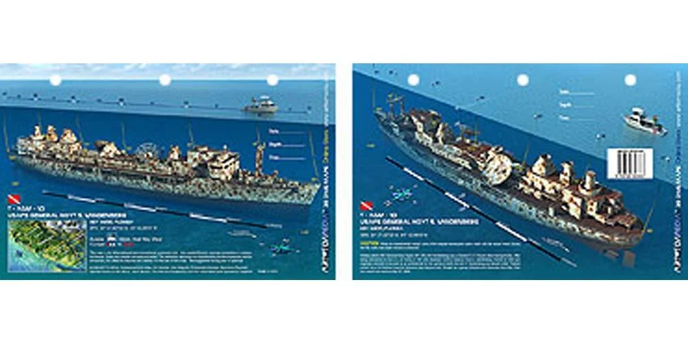
The 523 foot long Squire-class transport ship Hoyt S. Vandenberg sits in 145 feet of water off Key West, Florida in state waters. Reef Site Cards, also called 3D Dive Site Maps, are a handy tool for divers, snorkelers, anglers and boaters. Anglers can see on these very detailed cards the reef site structure to learn the best way to fish a site. Divers get important details to make the most of their bottom time. Snorkelers can take the cards with them into the water and learn about what they are seeing from above.
3-Hole Punched for Log Book or Lanyard when Underwater. Great planning tool for diving, snorkeling, spearfishing and fishing. Includes site details, depths, currents, GPS coordinates in DDMM.MMM format, distance from nearest port, and other pertinent information which varies by site. Reef Site Card Dive Map of this shipwreck is a waterproof thick plastic card 8 1/2 x 5 1/2 inches with high quality graphics printed on both sides. Hoyt S. Vandenberg, Key West, Florida.
Date First Available: January 30, 2016. Best Sellers Rank: #1,348,159 in Sports & Outdoors. Customer Reviews: 5.0 out of 5 stars1 rating5.0 out of 5 stars. : 1897447531. Manufacturer: ?Art to Media. Material: ?Plastic. Brand Name: ?Art to Media. Package Weight: ?0.02 Kilograms. Item Package Dimensions L x W x H: ?8.5 x 5.4 x 0.1 inches.
Reviews
There are no reviews yet.