Description
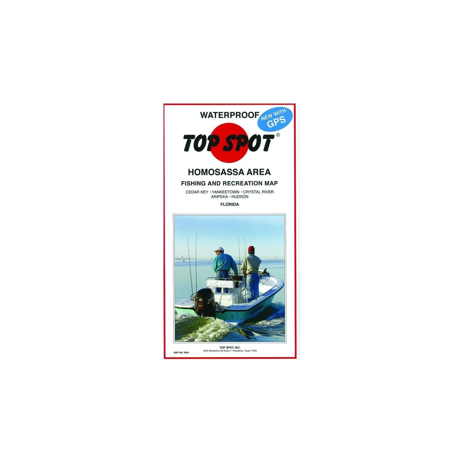
This map is perfect for to typical outdoorsman. Top Spot Map of Homosassa Area Cedar Key to Hudson.
Model Number: N201. Indicates Types Of Saltwater Fish Caught, Best Fishing Months Of The Year And Underwater Structure. Includes Gps Coordinates For Hot Fishing Locations, Boat Ramps, Marinas And Other Points Of Interest. Waterproof And Tear Resistant.
Date First Available: October 1, 2001. Best Sellers Rank: #71,996 in Sports & Outdoors. Customer Reviews: 4.7 out of 5 stars72 ratings4.7 out of 5 stars. : B0014498W2. Part Number: ?N201. Manufacturer: ?Top Spot. Number of Items: ?1. Brand Name: ?Topspot. Package Weight: ?0.01 Kilograms. Item Package Dimensions L x W x H: ?13 x 1.1 x 0.4 inches.
Reviews
There are no reviews yet.