
Description
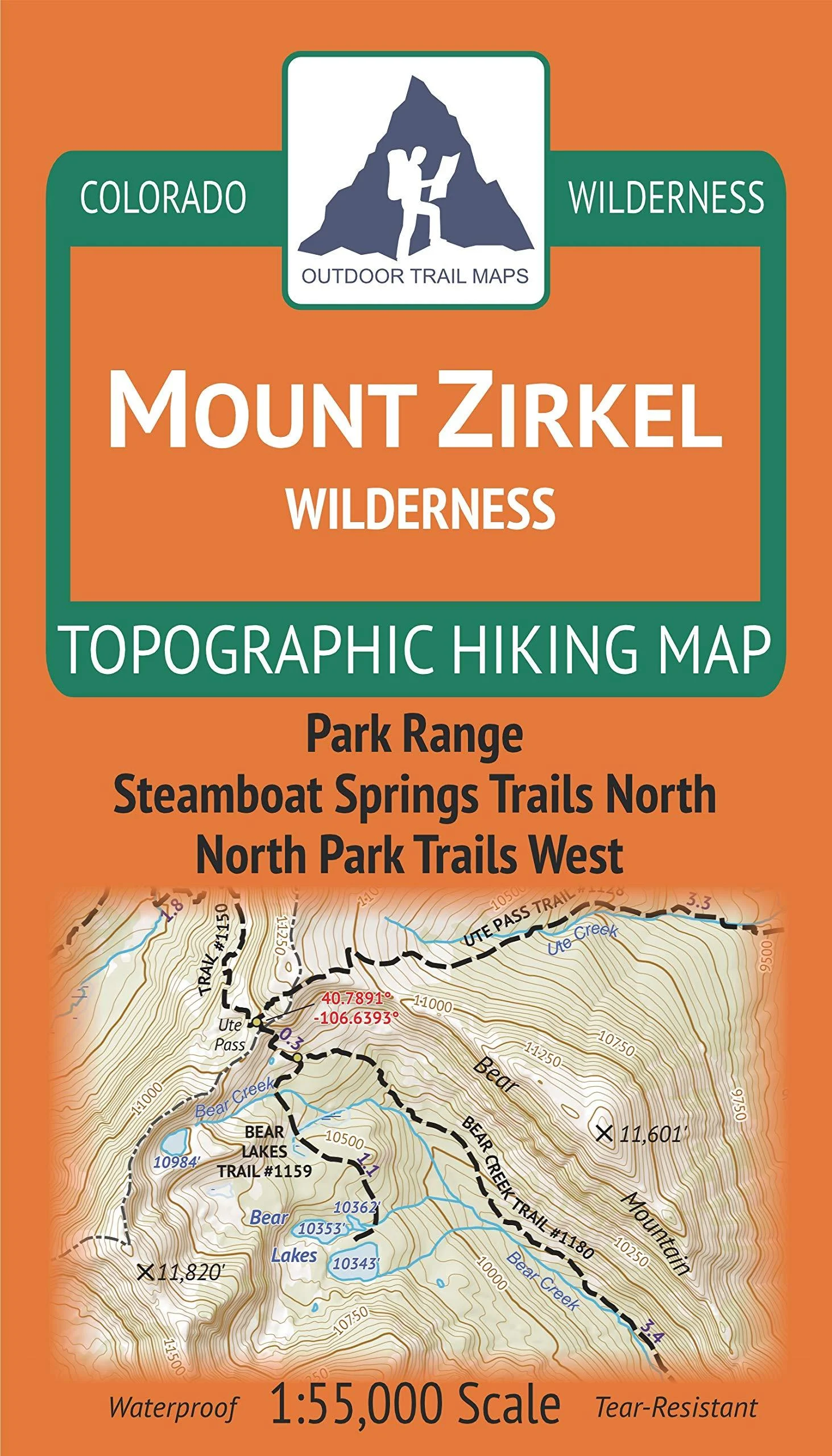
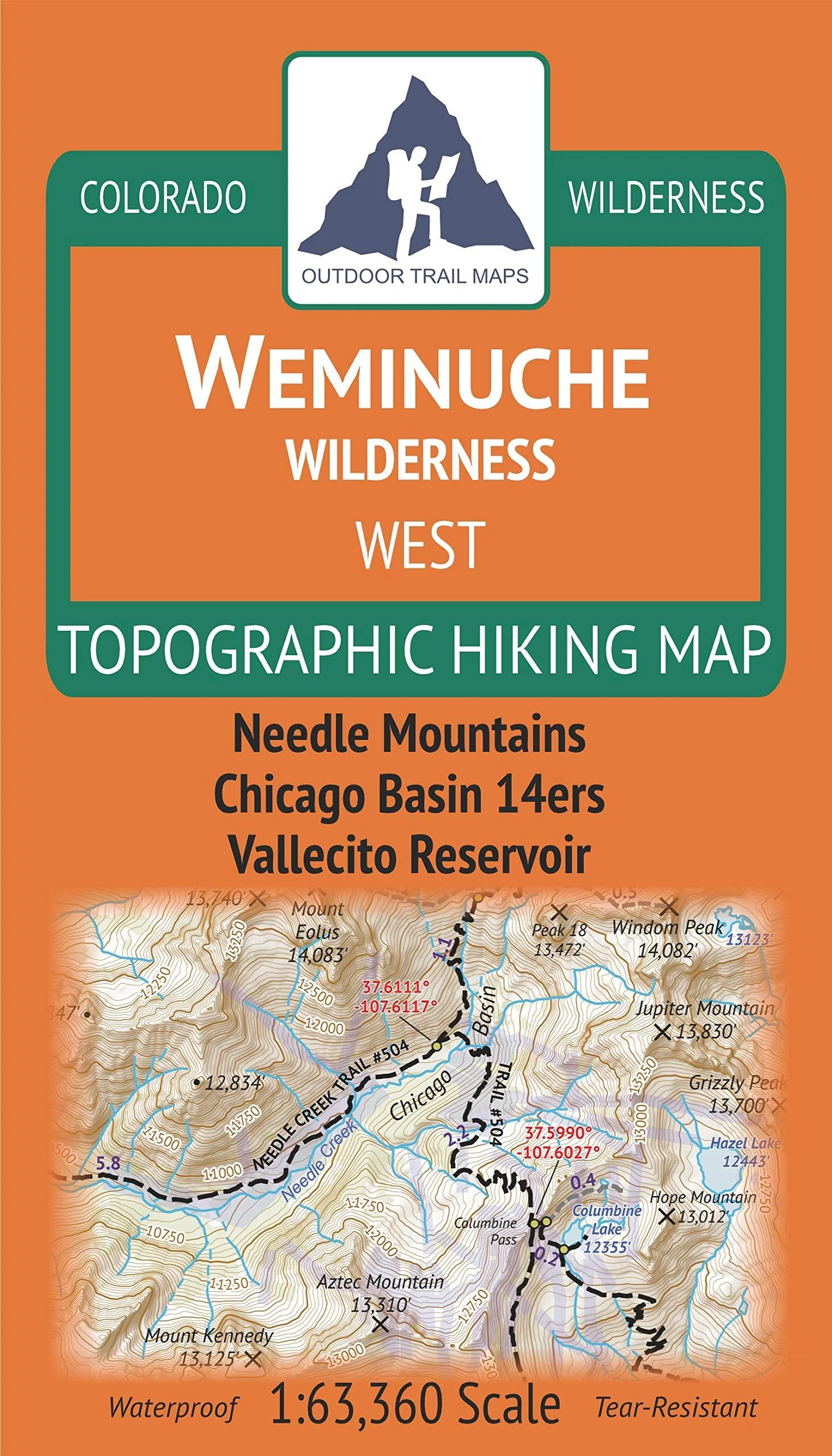
Waterproof, tear-resistant topographic hiking map covering all of the hiking trails in the Mount Zirkel Wilderness in the Park Range along the continental divide in northern Colorado, including a large area of the Routt National Forest north of Steamboat Springs. The front side of the map covers the southern half of the wilderness, from Buffalo Pass north Seedhouse Rd. The back of the map shows the northern portions of the wilderness, including the Continental Divide Trail. The motorized Grizzly-Helena trail along the eastern border is also covered.
GPS coordinates for trailheads and trail junctions – device compatible. Up-to-date for 2019 with accurate trail routings and distances. Segment distances – mileage – for all trails. Smaller and lighter – no more unfurling huge maps – designed for on-trail use. Waterproof, tear-resistant, 1:55,000 scale with a compact 4″x7″ folded size for your pocket.
Item Weight: 1.7 Ounces. Paper Finish: Coated. Map Type: Trail, Topographic. Brand: Outdoor Trail Maps. Date First Available: April 12, 2019. Best Sellers Rank: #487,971 in Sports & Outdoors. Customer Reviews: 4.6 out of 5 stars13 ratings4.6 out of 5 stars. : 1946906433. Part Number: ?9781946906434. Manufacturer: ?Outdoor Trail Maps LLC. Brand Name: ?Outdoor Trail Maps. Item Weight: ?1.7 Ounces. Package Weight: ?0.05 Kilograms. Item Package Dimensions L x W x H: ?6.92 x 3.97 x 0.43 inches.
Reviews
There are no reviews yet.